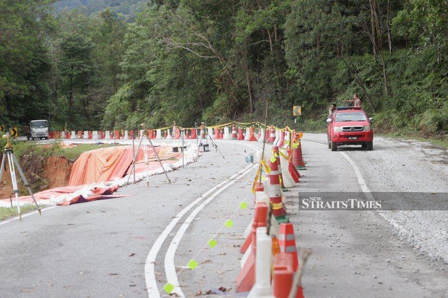
KUALA LUMPUR: The Batang Kali investigation report revealed that maintenance work was performed on the slope and road where the tragedy occurred weeks before the incident.
The Batang Kali landslide, which occurred along Jalan B66 Section 14, Jalan Batang Kali-Genting Highlands, Hulu Selangor is under the jurisdiction of the Hulu Selangor district's Public Works Department (JKR).
The report indicated the sewage and drainage system for the road were required to undergo six cycles of maintenance annually, under the B66 scope of maintenance record.
"The drainage along the B66 road was maintained according to the scope of the concession maintenance contract, carried out by the appointed concessionaire," read the report.
According to the record revealed in the report, it was observed that both the drains and sewage maintenance were carried out as per schedule, whereas the last round was carried out in November, just weeks prior to the incident.
Also, under the R09 requirement, a periodical check needs to be carried out once a week, yet records for such were not stated in the report.
The full investigation report posted on the National Disaster Management Agency (Nadma) website this morning declassified the details of the landslide and ruled out any anthropogenic, or human activity that contributed to the Batang Kali tragedy.
"While satellite images from March 2018 indicated some human activities in the area, it was challenging to establish a significant causal relationship between these activities and the occurrence of the observed landslide.
"Without substantial evidence linking specific human activities to the landslide, it is reasonable to consider that it happened as a result of natural failure," the report read.
The report said rainfall and geological factors were the potential causes of the observed landslide.
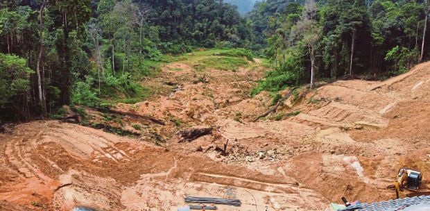
The report illustrated the two stages of the Batang Kali landslide incident — toe rotational slide failure, followed by debris flow.
"The first landslide took place at approximately 2am, with a dimension of 120m in length and a maximum depth of 14m. Due to the soil conditions, the debris reached the Riverside campsite, located approximately 550m away.
"Subsequently, the debris consisting of soil, rocks, and trees from the first landslide mass accumulated at the toe of the slope, forming an artificial temporary dam. Surface water flowed from the existing river and the collapsed scarp, accumulating at the temporary dam.
"After 20 minutes, the temporary dam broke, resulting in the second landslide mass in the form of debris flow, enveloped the campsite," the report said.
Yesterday, Deputy Prime Minister Datuk Seri Dr Ahmad Zahid Hamidi said the landslide was a result of continuous heavy rainfall.
Zahid, who is also the Nadma Central Disaster Management Committee chairman, said the five-day major cumulative rainfall was 118.6mm, while the 30 days of cumulative antecedent rainfall measured 444.8mm.
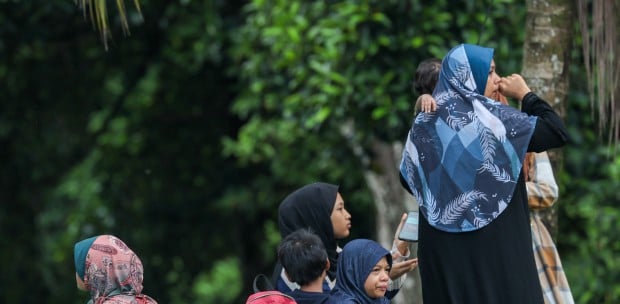
The Batang Kali landslide that happened in the wee hours of Dec 16 last year led to the deaths of 31 victims, including 13 children.