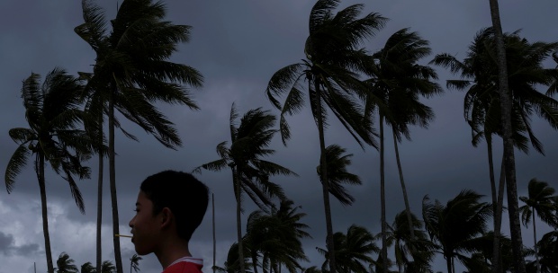

KUALA LUMPUR: The northeast monsoon, like it has in previous years, will lash the east coast of the Peninsular with torrential rains until end of this month.
However, Malaysian Meteorological Department (MetMalaysia) director-general Muhammad Helmi Abdullah was not expecting the west coast of the Peninsular to be battered in a similar manner this year.
Helmi told the New Straits Times that the once-in-a-century floods that left most parts of the Peninsular underwater last year occurred due to a low-pressure system that moved across the Peninsular concurrently with the strong monsoon winds.
But, this year, Helmi said, the heavy downpour resulting from the northeast monsoon will be concentrated in Kelantan, Terengganu and Pahang between November and December.
The cold spell that gripped Malaysia since the northeast monsoon started on Nov 7 is expected to last until March 2023.
MetMalaysia had earlier predicted that at least four to six monsoon episodes triggering heavy downpours could potentially occur during this period.
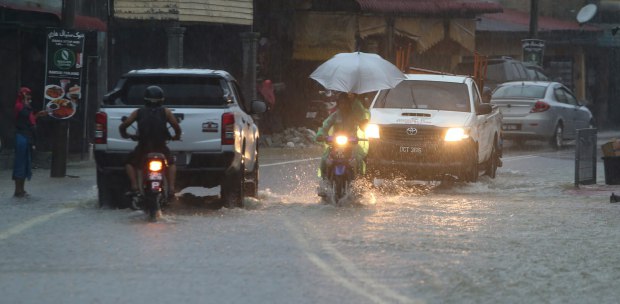
Kelantan, in particular, is facing intense flooding this year as the state recorded its highest-ever rainfall in 55 years last Sunday.
State Drainage and Irrigation Department (DID) director Kamal Mustapha said the Bukit Yong station in Pasir Puteh received a rainfall intensity of 627mm on Dec 18, surpassing the record 608mm logged in Kota Baru on Jan 6, 1967.
In fact, 65 episodes of floods have hammered Kelantan and Terengganu in the last three days, rendering Pasir Mas in Kelantan and Kemaman in Terengganu as the two worst-hit districts.
The Drainage and Irrigation Department (DID) director-general Datuk Dr Mohd Nasir Md Noh, on Tuesday, said the Kampung Wakaf Raja station in Pasir Putih recorded the highest rainfall in Kelantan over the last 24 hours which amounted to 625mm. Kelantan's long-term monthly average rainfall was only 500mm.
Meanwhile, in Terengganu, the highest amount of rainfall was measured at the Kalabe station in Besut which came up to 732mm in the last 24 hours.
Between Dec 17 and Dec 19, the station received 1046 mm of rainfall, higher than the long-term monthly average precipitation for Terengganu, which was only 663mm.
Pahang and Johor are also staring at the possibility of a similar ordeal.
On Tuesday, the National Flood Forecasting and Warning Centre issued flood warnings for areas near Sungai Melikai in Mersing, Johor, from 4am on Wednesday.
The centre also predicted Kampung Semanggar in Kota Tinggi, Johor, to be flooded after 4pm on Thursday and a potential deluge in the Rompin district in Pahang, involving Kampung Buluh Nipis, Felda Selancar and areas in the vicinity, after 6pm on Thursday.
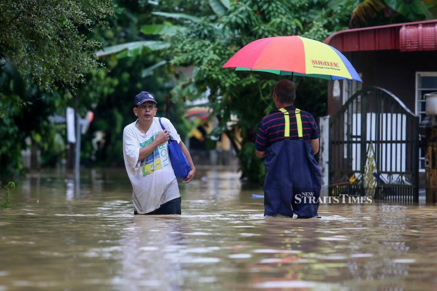
Up to 2pm on Tuesday, the total number of flood victims in five states affected by the northeast monsoon - Kelantan, Terengganu, Johor, Pahang and Perak - has jumped to 67,214 people.
Since the northeast monsoon began last month, the floods have displaced some 92,157 victims throughout 11 states. The authorities have also relocated to 25,635 families to temporary evacuation centres.
Meanwhile, the National Disaster Management Agency (Nadma) said some parts of the country are experiencing more severe floods this time compared to previous years because of a second monsoon surge.
"The second monsoon surge over the past three days has resulted in heavier rains that cause river water levels to rise rapidly.
"So, contrary to claims that some areas that never experienced flooding are now inundated, these areas are actually experiencing more intense flooding," a Nadma spokesman said.