KUALA LUMPUR: The Batang Kali landslide investigation report outlined five suggestions, including the development of a slope hazard and risk map for state and federal roads to forestall any future tragedy.
The full report released on the National Disaster Management Agency (Nadma) website this morning proposed mitigation and prevention measures need to be in place to reduce the risk of similar incidents recurring in the future.
"This includes the development of a slope hazard and risk map for state roads, similar to federal roads.
"Additionally, regular inspections and maintenance of road assets should be carried out periodically," the report read.
The report called for extending the National Slope Master Plan (2019-2023) for another 15 years.
"This is to enhance an effective slope management plan for reducing risks and losses of property and lives due to multiple hazards and ongoing climate change."
There are also suggestions to include the development of big data analytics using advanced artificial intelligence (AI) technology systems.
"It is recommended to use AI systems in managing slope data comprehensively and integrated at all levels of stakeholders for informed decision making," it said.
Additionally, the report underscored the necessity of enforcing the Act and guidelines for camping and recreational sites, and the empowerment of Slopes Engineering Branch personnel in leading investigations of all landslide incidents.
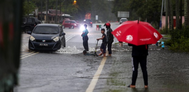
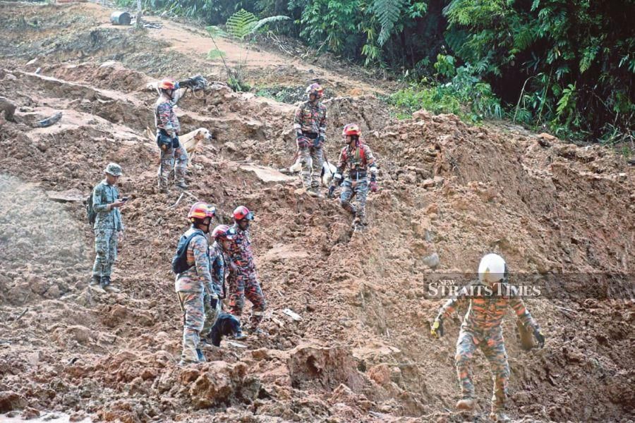
The Batang Kali landslide that happened in the wee hours of Dec 16 last year has led to the deaths of 31 people.
The full report ruled out any anthropogenic, or human activity that contributed to the tragedy, and said the landslide that occurred at state route B66, Jalan Batang Kali-Genting Highlands in Hulu Selangor was a result of five days of continuous heavy rainfall.