KUALA LUMPUR: The Malaysian Meteorological Department has issued an advisory over Typhoon Mangkhut for Sabah.
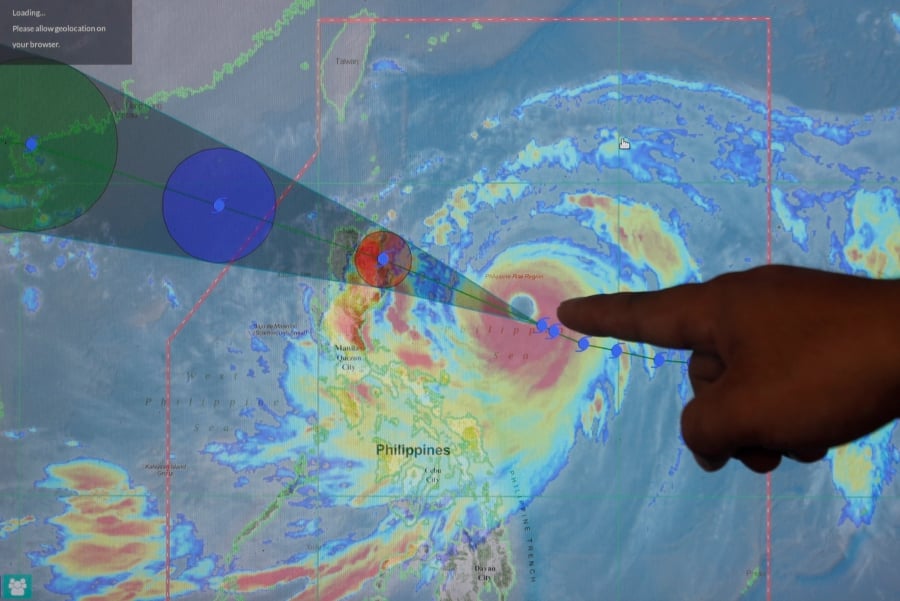
In a statement it said the typhoon which is approximately 452 km North West of Manila, Philippines and 1328 km North East of Kudat, Sabah, may cause strong winds over waters off Sabah.
It issued a first category warning comprising strong Southwesterly winds of 40-50 kmph with waves up to 3.5 metres (11 feet) are expected to occur over the waters off Western Sabah until Monday.
“This condition of strong winds and rough seas are dangerous to small crafts, recreational
sea activities and water sports,” the department said in a statement.
The department issued a second category warning comprising of strong Southwesterly winds of 50-60 kmph with waves up to 4.5 metres (15 feet). It is expected to occur over the waters off northern Condore, northern Reef North and northern Palawan until Monday.
It also issued a first category warning of strong Southwesterly winds of 40-50 kmph with waves up to 3.5 metres, which are expected over the waters off Phuket, Samui, southern Condore, southern Reef North, Layang-Layang, southern Palawan, Labuan and Sulu until Monday.
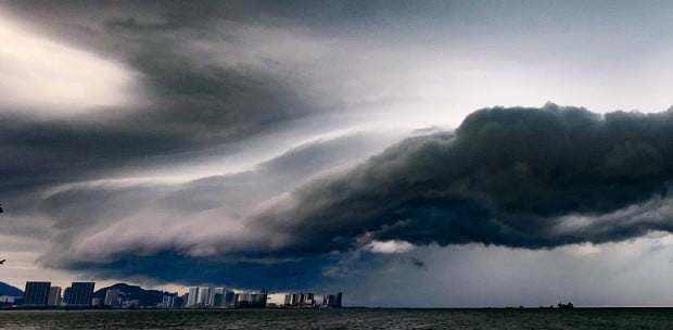
Meanwhile, AFP reports that Super Typhoon Mangkhut -- the biggest storm of the year -- smashed through the Philippines on Saturday, claiming its first victims as two women were killed when a rain-drench hillside collapsed on them and another drowned in Taiwan.
The massive storm cut a swathe of destruction when it struck the northern tip of Luzon island, threatening the lives and homes of roughly four million people.
As the powerful storm left the Southeast Asian archipelago and barrelled towards densely populated Hong Kong and southern China, search teams in the Philippines began surveying the provinces that suffered a direct hit.
Mangkhut was packing sustained winds of 170 kilometres (105 miles) per hour and gusts of up to 260 km per hour as it left the Philippines.
An average of 20 typhoons and storms lash the Philippines each year, killing hundreds of people and leaving millions in near-perpetual poverty.
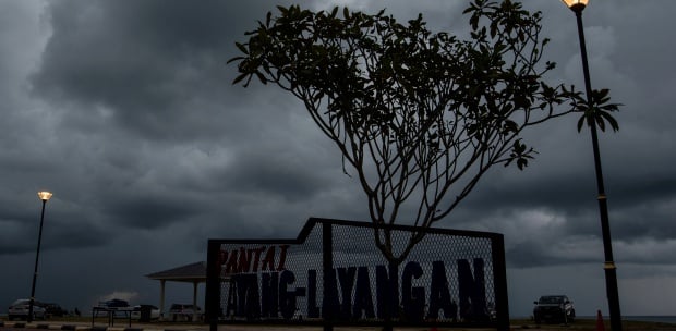
Thousands of people fled their homes in high-risk areas ahead of the storm's arrival because of major flooding and landslide risks.